
Fabric maps are nothing new, but like a lot of great products in the outdoors “a nod” in the direction of tradition can be a good thing……a modern twist on a proven method can only result in a great product.
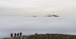
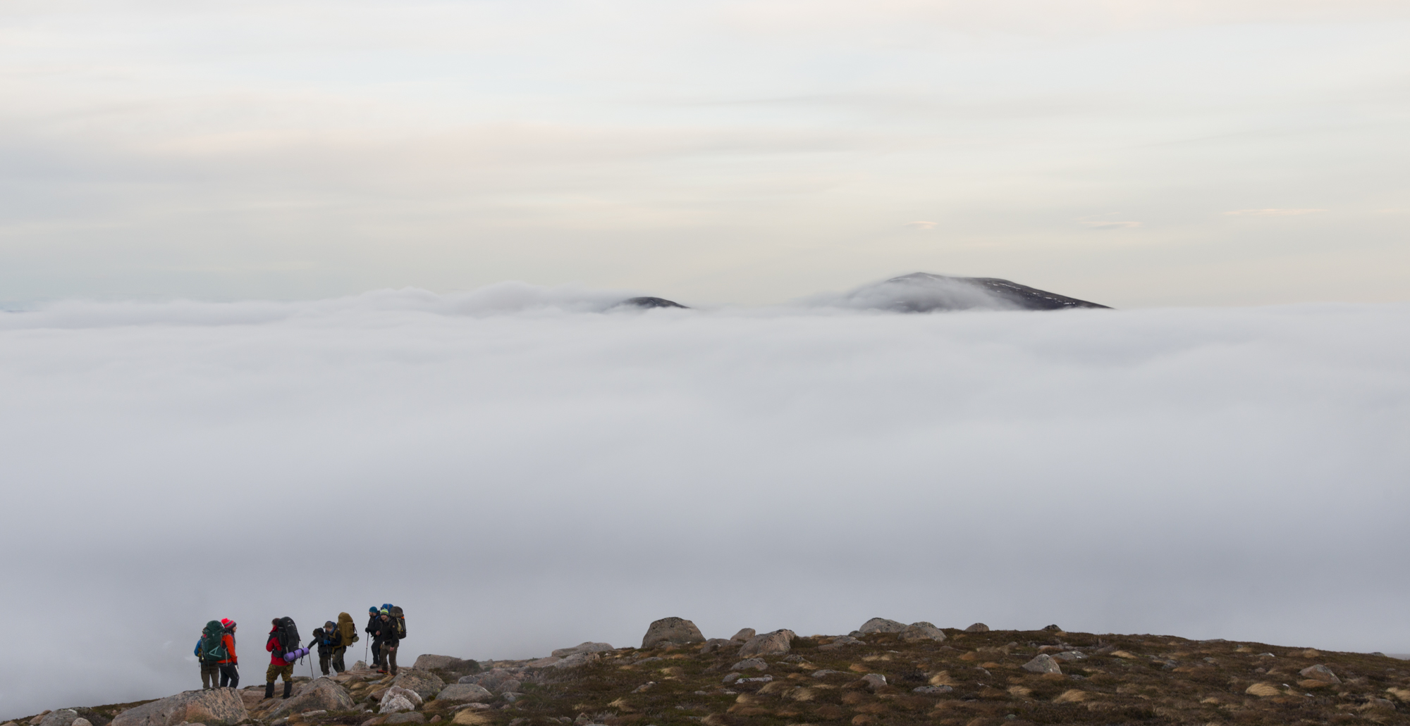
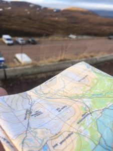
temperature inversion high on the Cairngorm Plateau during the test of the Splash Map
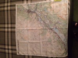
Fed up with folding and refolding my maps to areas I required as well as having them wear out over time (even when protected in a map case) and cutting a map up is really poor practice, I recently purchased a fabric map from a company called Splashmaps of the Cairngorm area based on the Harvey 1:40000 map. I had a good conversation with David Overton from Splashmaps and about the products and these are my thoughts on my purchase.
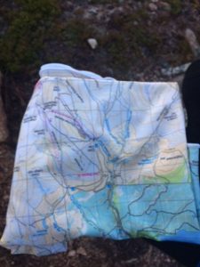
The Splash Maps Harveys Cairngorm Snood map
Now this will make purists and traditionalist cringe, but hey, you sometimes need to take a deep breath and try something new. The map I bought was definitely a change as it was a stretch map that was basically a snood! This is something really innovative.
The bespoke BCS splashmap
So let’s see what it’s all about: The Harvey map is printed onto a fine and stretchy microfiber and can be worn around the neck, head or wrist. It has all the cartographic style of Harvey maps and the detail is really clear. I was heading off onto the sub-arctic plateau of the Cairngorms instructing a group of nine on “winter skills” and within the group, there was a good mixture of OS 1:50000, 1:25000 as well as Harvey 1:40000 & 1:25000 in use. I opted to concentrate on the Splash Map stretch map as well as my Harvey 1:40 (which I stowed in the bottom of my pack) as I knew the area we were heading to and I really wanted to see how I faired with this. Now I have extensive map reading experience and I have used mapping all over the globe but this was completely new. I had previously experienced military Escape & Evade maps which are usually of a greater scale and not the greatest to use for fine work but this was a real eye opener.
Orientating the splash map snood to the ground using physical features at the start of the day
The first thing that I noticed was that there were no grid numbers on it………this will make lots of people raise an eyebrow, but if you pause for breath and think about it the map is stretchy so taking a grid reference is not going to be accurate so you can only use it for landmarks, bearings etc. This is not a show stopper, as you can pre plan a route on a normal map and then trace it onto the stretch map using the Crayola pen supplied (which can be washed out later) if required. I managed to identify everything easily, take bearings and orientate the map easily with my compass. It was just a case of folding it to the area I required and doing all the normal map and compass work.
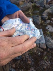
Taking a bearing using the Splash Map is easy
How many folk take two maps with them in the case of losing one? Having a splash map on you as a “back-up”, or in good weather a primary navigational aid can only be a good idea. All in all I found it really useful as I used it round my neck as a buff type item then used it to navigate around the hills. If you are not comfortable with having no grid numbers then you can get a non-stretchy fabric map which does have the grid numbers on it. I’m telling you folks this is the way forward now, and it is something I fully recommend you to try out. BCS will have a number of Splash map products on trial for you on our courses for 2017……..with our own twist! Get on the web site and have a look at the products.