

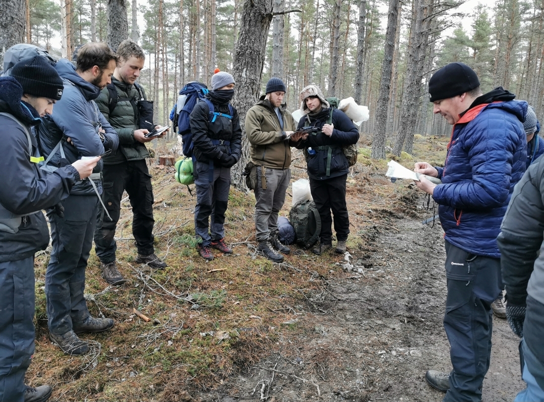
This article discusses a small handful of a wide variety of devices that can help with sharing your location, either with yourself, your emergency contact or to emergency services if the situation arises. Everything we discuss here, we use and promote the use of in our Location lessons.
GARMIN ETREX 10 HANDHELD GPS
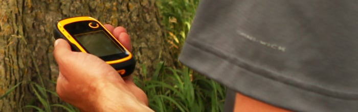
The Garmin Global Positioning System receivers work off of the 24 GPS satellites that orbit the Earth. These orbit the Earth twice a day and transmit signals back. The Garmin eTrex 10 Handheld GPS has high-sensitivity and works off of the GPS receivers and HotFix® satellite prediction. We have found that this has been able to maintain our location in all kinds of areas and has kept it’s accuracy. The Garmin eTrex 10 Handheld GPS holds a wordwide basemap, however, you can not download additional maps on to the system. It is powered by 2 AA batteries, so it is easy to keep it charged when out on longer hikes.
GARMIN INREACH MINI
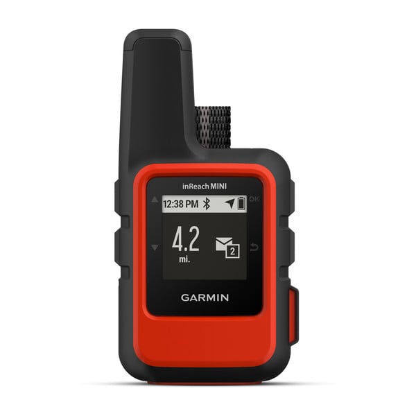
The Garmin inReach Mini follows the same GPS system as the Garmin Etrex 10 Handheld GPS however, it has quite a few more features that make it one of our favourite devices. The inReach Mini does require a subscription but you can pay for when you want to use it. For example, if you’re planning an expedition August – September, you’ll pay for those two months then don’t pay for it when you’re not using it. Here are some reasons why it is one of our favourite devices:
- One of the most useful features is it’s Two Way Global Messaging. You can send text messages to your contacts and communication inReach to inReach when out and about. We have used this to send our emergency contacts a message to say we have arrived at our camp and then they have been able to message us back confirming they received the message. This is really beneficial when we have found ourselves with little to no signal, the messages are sent via the global Iridium satellite network. There is reports of it being used to post on social media as well, however we have yet to try this out.
- There is an Interactive SOS Alert, which once alerted get’s sent to Garmin over in Houston, once your position is located it get’s pinged to a station near your area, which for the UK would be the Joint Rescue Coordination Centre, Fareham.
- Location Sharing; this feature is great for when you’re heading to areas out of signal to keep your loved ones up to date, it has an ability to share your location and they can ping your device for an update. With this feature, the more you pay a month, the more frequently your location pings.
- It has a weather forecast service, so you can check on the weather forecast for your location or look ahead at points ahead of your journey.
Here is a short video explaining how the Garmin inReach Mini works when you require help:
MOBILE PHONE APPS
Before we start, we want to emphasise that when you go out on hikes or adventures, do no purely rely on your phone. Always take a map and a compass with you as your primary method of navigation. If you are using your phone (alongside other aids) ensure you bring a portable charger as well. Here are some things on our mobile phones we use and discuss in our Location lesson that can be used for when you have signal.
SARLOC
SARLOC can be used without downloading an app but it requires data signal:
- When you have data and signal, you will phone emergency services , they will then send you a text message with a URL link and as soon as you click this, it will send your location to Emergency Services.
Emergency Services were trying to find out a way to help lost personal when they don’t have data, which is where the development of SARLOC V 2 was created, which is an app that can be downloaded. If you have the app and find yourself with signal and no data then:
- You will phone the emergency services, then you can use the app to give you your exact location and verbally tell the Emergency Services what your grid references are.
If you have the app and have data signal then Emergency Services may give you a SARKEY which once entered into the app will send your location to the Emergency Services like the URL link does.
The SARLOC app can currently be downloaded on the Apple App Store for less than £2. An android version is currently under development and testing.
Here is a link to Mike Raine Upland Lives podcast episode with Russ Hore who is the creator of SARLOC:
OSLOCATE

OSLocate is an app that compliments the use of Maps and should not replace a compass. The app doesn’t require signal, the inbuilt GPS system can find your location. OSLocate converts the GPS location readings from your mobile phone to the Ordnance Survey National Grid references so you can locate yourself on the map accurately. The app also includes a compass feature as well as the option to share your location with friends and family via messaging or social media.
What3Words
We are often asked about What3Words and the reliability of it after some negative reports came out. The app has divided the world into three metre squares and each of these squares are given a combination of three words, for example the BCS Bothy is articulated.eagles.revolting. This has become rather handy when sharing amongst friends and family to share where you are, however there were reports of Emergency Services not advising the use of what3words due to the issue of pronunciation. As we all pronounce words differently, there were issues where the Emergency Services were getting sent to the completely wrong place as they had heard a word wrong or it had been said differently due to accents. What3Words has listened to these reports and have now added the feature of 6-10 figure grid references being provided alongside the three words. If you have this app and haven’t set that up yet, here is how:
- Click on Setting
- Click on Display Settings
- Scroll down to ‘Country-specific systems’ and drop the arrow down to open up the menu
- Here you can choose to have either Eastings, Northing or the choice of 6, 8 or 19 Digit Grid Reference
Depending on your choice your location will look similar to this:

This has been a brief run through of some of the devices and apps we have trialed and use when out and about either on our own personal adventures or with groups. As mentioned before there is a wide variety of devices/apps available and all have their advantages and disadvantages and it is all down to personal preference. No point having a device or app that you don’t know how to work. Just don’t be that person who climbs a hill using Google Maps…